Friday, June 18, 2010

Lower Chesapeake Bay

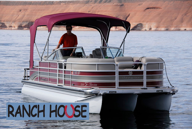
Wouldn't you love to see "Ranch House" next to this?
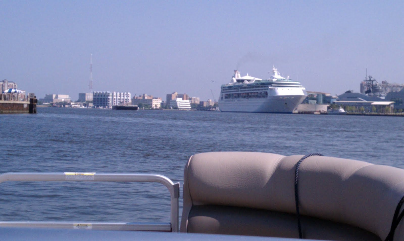
Naval vessels

Big bridge over the Chesapeake

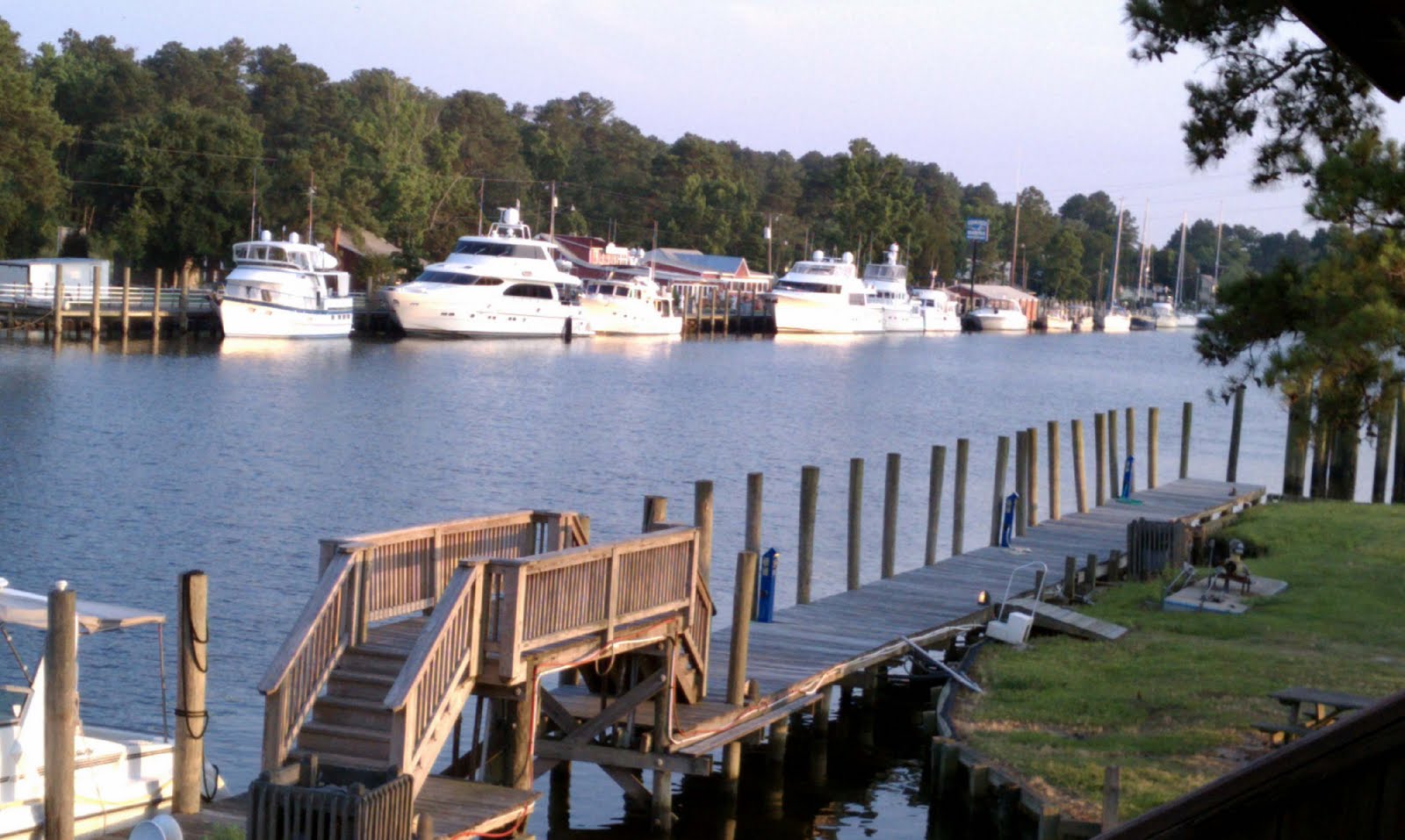
Sailboats and homes along the Chesapeake

Thursday from Norfolk, VA to Solomons Island can be described as either the worst day of my trip or the most challenging - both would qualify. From Great Bridge through Norfolk Harbor the "no wake" speed travel was interesting with the Navy ships and maritime industries passing by on both sides. High security was present around the Naval boats with police and Navy patrol boats visible. Then, as I moved out of the harbor to head north on the lower Chesapeake the wind picked up and the water became a little rough, dropping my speed to 15-20 - a preamble perhaps of things to come. I had checked wind and weather the night before and the weather channel that morning before I left. To summarize, the day began at 8:00 and ended at 5:30. It was non-stop on the boat and constant pounding made reading the 7 inch GPS screen difficult – the distance of 110 miles should have been completed by 1 or 2:00.

As I began to cross the mouth of the Potomac River things got worse but there were no marinas close by. I reasoned that given the distance (fetch) from which the wind was coming down the Potomac, I might just as well proceed across the 20-or-so miles to the other side. It couldn't get any worse and should get better. It was grim with salt water at times spraying over me and the boat, and coming under the front gate down the isle of the boat. I was having to position the boat to accommodate the waves and prevent damage.

I finally arrived Solomon at 5:30, not in the mood for poor service at the marina and motel. A man at the marina informed me that there had been a small craft warning out since morning! I had checked weather but neglected to check NOAA marine weather where the warning was posted about the time I left Norfolk. So, a 110-mile trip under small craft advisory and blue skies overhead. Another lesson learned.

Today, Friday, was much more pleasant as I continued up the Chesapeake towards Annapolis and the bridge that crosses the Chesapeake. For the first two hours my northerly and easterly horizon was water only, land visible several miles to my port side. My GPS provided a straight navigation line until finally the bridge came into view about 10 miles away. While I was cruising along I suddenly noticed off to my starboard side an eagle with about an 8-inch fish in its talons - he flew with me for several hundred yards at about 25 mph - perhaps he was showing off.

Once again the vast waters of the eastern U.S. continue to amaze me. After the bridge, the Chesapeake continues to narrow where finally it provides a route to the C & D Canal, and Philadelphia and Washington. This canal links the Chesapeake to the upper Delaware Bay. Tomorrow I travel the 70 miles down the Delaware to Cape May, N.J. Winds? Well so far no warnings but I'm still a small boat in big waters. Look forward to the Hudson and Erie Canal. The Premier pontoon boat is holding up quite well - a "not your grandfather's pontoon" but a boat for serious water. I continue to get positive comments and questions about the "tri-toon" boat. The boat and Yamaha motor continue to give me confidence - completion of the trip will tell.


Wednesday, June 16, 2010

Took a weather day today as there were thunderstorms early this morning that I thought would rebuild early in the afternoon. However, it cleared off and I actually could have traveled north before that happened. Caught up on my journal and walked for some exercise. Storms again this evening in the area so hope they clear by morning. The trend into next week is for fewer thunderstorms but remaining hot. Plan to go to Solomons tomorrow - it is a fishing village north of the Potomac River at the mouth of the Patuxent River on the west side of Chesapeake Bay about 100 miles north of Norfolk. Concern after tomorrow is lodging availability due to Father's Day weekend. I'm missing a guide book that I'll pick up tomorrow that will give me information about marinas and phone numbers all the way north to the Erie Canal

Tuesday, June 15, 2010

Navigational aid with eagle's nest on top - parent off in search of breakfast.

Boat belonging to folks from Nova Scotia with whom I had dinner yesterday.

Boats in Coinjock

From Coinjock to Chesapeake today, just south of Norfolk and Portsmouth VA. The navigation aids used through most of the waterways are a red triangle or a green square. The color indicates on which side of the marker you should pass depending on whether you are going north or south or into a port. These are placed on a single wood piling in the water with the aid rising 5 feet or more off the water. As most of the waters are under 20 feet in depth the piling can be set and insure visibility from longer distances - sometimes I have to use my GPS and fix on a navigation aid I can’t see but must pass. So I put the cursor on that and then use the function "GO TO" until I can see the marker. The aids are important as they show the general channel. The aids are not frequent enough that you can go flying down a waterway without paying attention - sooner or later you will go aground and that can be very expensive. I've done this several times and was able to push the boat off the shoal and continue on - nicked up my prop but not game ending. I do carry a spare prop and, after my mishaps, try to pay more attention to where the channels go. Some of the biggest bodies of water may have depths of less than 5 feet, even miles from shore.

The thing about the nav aids is that most of them have resident birds resting on them. Today there were permanent eagles’ nests atop almost each pole and you could see the heads of the young eaglets in the nests. Some poles are lighted and are indicated as such on the navigational charts. It is not recommended for recreational boaters to travel at night, but commercial traffic does use the waterways 24 hours.

Got a taxi to my room and the driver showed me where I could find the Verizon store - needed some advice and a new charger. My Verizon Incredible phone sure is nice and I'm still learning features. A direct competitor to the iPhone, it has many features that have come in handy on this trip.

Tomorrow I will attempt to go 100 miles up the Chesapeake to Solomons, MD. Will have to check the weather at 5 when I get up to make sure it is ok to give up my room and take a taxi back to the boat. Sometimes the logistics of this trip can be a little overwhelming but like today, there was a minimum of hassle getting the boat situated and it took only 20 minutes to get to a decent hotel with stores and restaurants nearby. The taxi driver waited at several hotels until I could find one that had a vacancy. Now that school is out and graduation ceremonies occurring "no vacancy" signs are not so rare.


Monday, June 14, 2010

A lot of progress in the past two days, Sunday and Monday. Sunday I traveled from Southport, NC to Oriental, NC; and today from Oriental to Coinjock, NC - both about 135 mile days. Due to starting early I had time both days to walk around the towns a bit in the afternoon. Oriental is called “the sailing capital of NC.” The population is less than 500 but many more boats are kept here in the marinas by people from many locales. The town is beautiful with pine trees and well kept homes - the ones along the Neuse River are particularly scenic.

Sunday I traveled through Moorehead City and Beaufort on the Beaufort Inlet to the Atlantic. Industries include commercial shipping, sport fishing and recreational boating. Camp Lejune Marine base is nearby as well as a naval air station.

Today, Monday, began at 4:30 AM as I planned to cross two of the most dreaded open water crossings on the Loop, the Pamlico and Albermarle Sounds. Depending on wind direction I chose to do both today based on the mild wind forecast. The prediction was off a bit on Neuse River past Oriental when I left this AM with whitecaps building rapidly. After that I crossed the Pamlico River/Sound and it was a moderate chop on to Belhaven which I reached by 8:00 AM. Then it was on to the Alligator/Pongo River and canal. I traveled through a naturalist’s paradise of birds and quiet water lined with Cypress Swamps. There are alligators present and reports of bears seen swimming across the canal. The canal opens up to the Alligator River and the potentially very rough Albermarle Sound. It got breezy half way across the 30 miles but the wave direction quartered my path so the boat took the water in stride maintaining 20-25 mph.

Coinjock is located along a canal - a peaceful village with two marinas. There were some very large 60-65 foot cruisers tied up by 4:00 P.M. I'm in the Midway Marina and Motel, my favorite combination of accommodations. I met a couple from Nova Scotia who are returning north in their sailboat and we had quite a nice discussion. We took their dinghy across the canal to the only restaurant open in town. Tomorrow will go 40 miles north to vicinity of Great Bridge, VA just short of Norfolk, to plan my trip up the Chesapeake and down the Delaware.